
新兖镇 topographic map
Interactive map
Click on the map to display elevation.
About this map
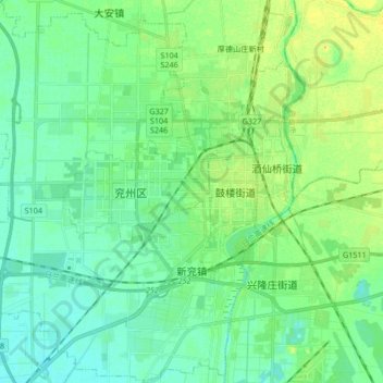
Name: 新兖镇 topographic map, elevation, terrain.
Location: 新兖镇, 兖州区, 济宁市, 山东省, 中国 (35.48380 116.69909 35.62028 116.82916)
Average elevation: 49 m
Minimum elevation: 40 m
Maximum elevation: 68 m
Other topographic maps
Click on a map to view its topography, its elevation and its terrain.