
海阳市 topographic map
Interactive map
Click on the map to display elevation.
About this map
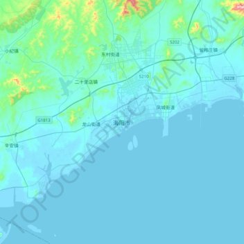
Name: 海阳市 topographic map, elevation, terrain.
Location: 海阳市, 烟台市, 山东省, 265100, 中国 (36.52835 121.00869 36.84835 121.32869)
Average elevation: 33 m
Minimum elevation: -1 m
Maximum elevation: 544 m
Other topographic maps
Click on a map to view its topography, its elevation and its terrain.