
凤城街道 topographic map
Interactive map
Click on the map to display elevation.
About this map
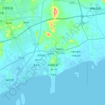
Name: 凤城街道 topographic map, elevation, terrain.
Location: 凤城街道, 海阳市, 烟台市, 山东省, 265100, 中国 (36.66865 121.14993 36.78104 121.32443)
Average elevation: 16 m
Minimum elevation: -2 m
Maximum elevation: 221 m
Other topographic maps
Click on a map to view its topography, its elevation and its terrain.