
龙山街道 topographic map
Interactive map
Click on the map to display elevation.
About this map
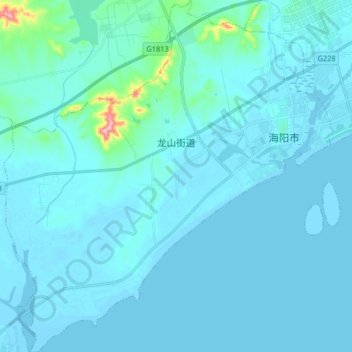
Name: 龙山街道 topographic map, elevation, terrain.
Location: 龙山街道, 海阳市, 烟台市, 山东省, 265100, 中国 (36.60810 121.03809 36.73943 121.19461)
Average elevation: 15 m
Minimum elevation: -2 m
Maximum elevation: 231 m
Other topographic maps
Click on a map to view its topography, its elevation and its terrain.