
广安区 topographic map
Interactive map
Click on the map to display elevation.
About this map
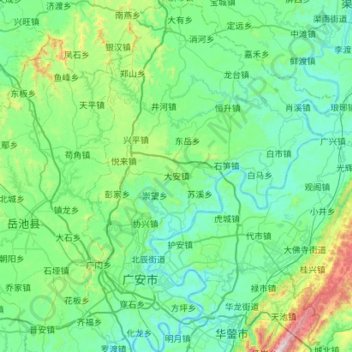
Name: 广安区 topographic map, elevation, terrain.
Location: 广安区, 广安市, 四川省, 中国 (30.35744 106.53530 30.84306 106.94522)
Average elevation: 387 m
Minimum elevation: 204 m
Maximum elevation: 1,363 m
Other topographic maps
Click on a map to view its topography, its elevation and its terrain.