
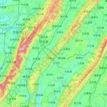
邻水县 topographic map
Interactive map
Click on the map to display elevation.
About this map
Name: 邻水县 topographic map, elevation, terrain.
Location: 邻水县, 广安市, 四川省, 中国 (30.01835 106.69235 30.53846 107.30036)
Average elevation: 482 m
Minimum elevation: 191 m
Maximum elevation: 1,670 m
四川省最低海拔188公尺,位於鄰水縣御臨鎮文武村。
Other topographic maps
Click on a map to view its topography, its elevation and its terrain.