
八一镇 topographic map
Interactive map
Click on the map to display elevation.
About this map
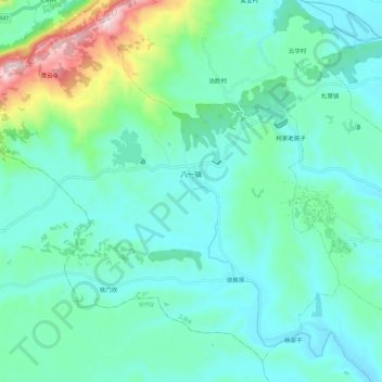
Name: 八一镇 topographic map, elevation, terrain.
Location: 八一镇, 江油市, 绵阳市, 四川省, 中国 (31.60795 104.51045 31.69913 104.63070)
Average elevation: 609 m
Minimum elevation: 496 m
Maximum elevation: 1,086 m
Other topographic maps
Click on a map to view its topography, its elevation and its terrain.