
祁家村 topographic map
Interactive map
Click on the map to display elevation.
About this map
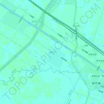
Name: 祁家村 topographic map, elevation, terrain.
Location: 祁家村, 常州市, 江苏省, 213000, 中国 (31.84228 119.77340 31.88228 119.81340)
Average elevation: 8 m
Minimum elevation: 5 m
Maximum elevation: 9 m
Other topographic maps
Click on a map to view its topography, its elevation and its terrain.