
前峰山 topographic map
Interactive map
Click on the map to display elevation.
About this map
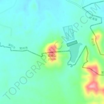
Name: 前峰山 topographic map, elevation, terrain.
Location: 前峰山, 常州市, 江苏省, 213000, 中国 (31.26571 119.32634 31.26581 119.32644)
Average elevation: 62 m
Minimum elevation: 26 m
Maximum elevation: 185 m
Other topographic maps
Click on a map to view its topography, its elevation and its terrain.