
中心店镇 topographic map
Interactive map
Click on the map to display elevation.
About this map
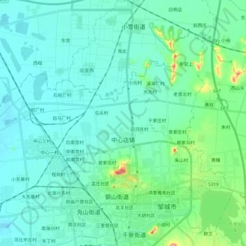
Name: 中心店镇 topographic map, elevation, terrain.
Location: 中心店镇, 邹城市, 济宁市, 山东省, 273512, 中国 (35.39827 116.84566 35.50923 117.03027)
Average elevation: 73 m
Minimum elevation: 40 m
Maximum elevation: 259 m
Other topographic maps
Click on a map to view its topography, its elevation and its terrain.