
太平镇 topographic map
Interactive map
Click on the map to display elevation.
About this map
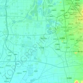
Name: 太平镇 topographic map, elevation, terrain.
Location: 太平镇, 邹城市, 济宁市, 山东省, 中国 (35.25708 116.74082 35.44324 116.86287)
Average elevation: 44 m
Minimum elevation: 34 m
Maximum elevation: 107 m
Other topographic maps
Click on a map to view its topography, its elevation and its terrain.