
大束镇 topographic map
Interactive map
Click on the map to display elevation.
About this map
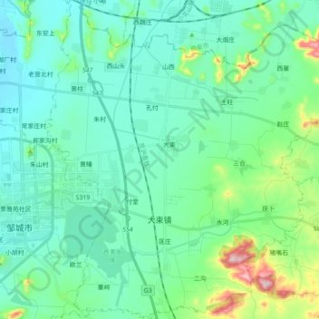
Name: 大束镇 topographic map, elevation, terrain.
Location: 大束镇, 邹城市, 济宁市, 山东省, 中国 (35.36195 117.01565 35.50482 117.18208)
Average elevation: 128 m
Minimum elevation: 60 m
Maximum elevation: 427 m
Other topographic maps
Click on a map to view its topography, its elevation and its terrain.