
妙峰山森林公园玫瑰谷 topographic map
Interactive map
Click on the map to display elevation.
About this map
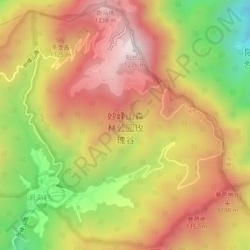
Name: 妙峰山森林公园玫瑰谷 topographic map, elevation, terrain.
Location: 妙峰山森林公园玫瑰谷, 猎手路, 门头沟区, 北京市, 中国 (40.05771 116.03131 40.08411 116.05980)
Average elevation: 968 m
Minimum elevation: 572 m
Maximum elevation: 1,273 m
Other topographic maps
Click on a map to view its topography, its elevation and its terrain.