
绝石梁 topographic map
Interactive map
Click on the map to display elevation.
About this map
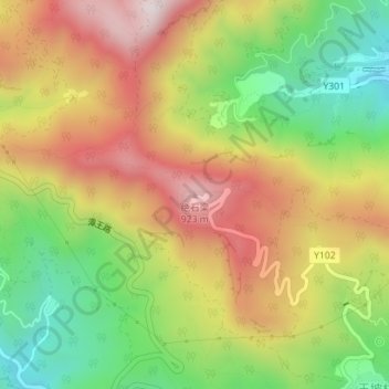
Name: 绝石梁 topographic map, elevation, terrain.
Location: 绝石梁, 门头沟区, 北京市, 中国 (39.92030 116.00418 39.92040 116.00428)
Average elevation: 641 m
Minimum elevation: 333 m
Maximum elevation: 954 m
Other topographic maps
Click on a map to view its topography, its elevation and its terrain.