
林子台村 topographic map
Interactive map
Click on the map to display elevation.
About this map
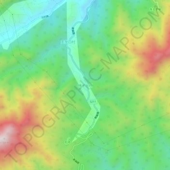
Name: 林子台村 topographic map, elevation, terrain.
Location: 林子台村, 门头沟区, 北京市, 中国 (40.02199 115.68821 40.06199 115.72821)
Average elevation: 676 m
Minimum elevation: 392 m
Maximum elevation: 1,151 m
Other topographic maps
Click on a map to view its topography, its elevation and its terrain.