
莽山 topographic map
Interactive map
Click on the map to display elevation.
About this map
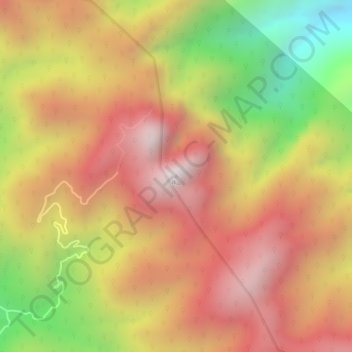
Name: 莽山 topographic map, elevation, terrain.
Location: 莽山, 宜章县, 郴州市, 湖南省, 中国 (24.97877 112.96847 24.97887 112.96857)
Average elevation: 1,330 m
Minimum elevation: 761 m
Maximum elevation: 1,700 m
Other topographic maps
Click on a map to view its topography, its elevation and its terrain.