
宜章县 topographic map
Interactive map
Click on the map to display elevation.
About this map
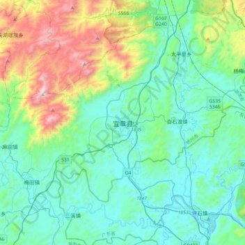
Name: 宜章县 topographic map, elevation, terrain.
Location: 宜章县, 郴州市, 湖南省, 424200, 中国 (25.24298 112.78344 25.56298 113.10344)
Average elevation: 465 m
Minimum elevation: 148 m
Maximum elevation: 1,605 m
Other topographic maps
Click on a map to view its topography, its elevation and its terrain.