
笆篱镇 topographic map
Interactive map
Click on the map to display elevation.
About this map
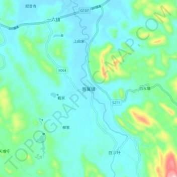
Name: 笆篱镇 topographic map, elevation, terrain.
Location: 笆篱镇, 宜章县, 郴州市, 湖南省, 中国 (25.08739 112.83851 25.16739 112.91851)
Average elevation: 254 m
Minimum elevation: 181 m
Maximum elevation: 588 m
Other topographic maps
Click on a map to view its topography, its elevation and its terrain.