
吴江区 topographic map
Interactive map
Click on the map to display elevation.
About this map
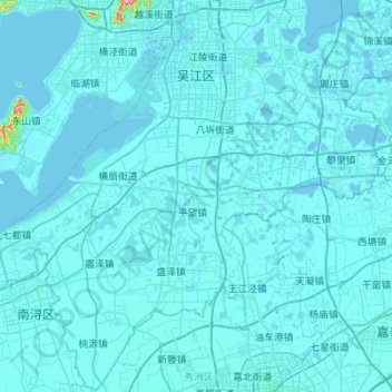
Name: 吴江区 topographic map, elevation, terrain.
Location: 吴江区, 苏州市, 江苏省, 中国 (30.76033 120.34915 31.22835 120.90057)
Average elevation: 4 m
Minimum elevation: -5 m
Maximum elevation: 252 m
Other topographic maps
Click on a map to view its topography, its elevation and its terrain.