
西山岛 topographic map
Interactive map
Click on the map to display elevation.
About this map
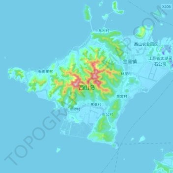
Name: 西山岛 topographic map, elevation, terrain.
Location: 西山岛, 苏州市, 江苏省, 中国 (31.06185 120.19078 31.16202 120.35338)
Average elevation: 14 m
Minimum elevation: -32 m
Maximum elevation: 314 m
Other topographic maps
Click on a map to view its topography, its elevation and its terrain.