
芦荡村 topographic map
Interactive map
Click on the map to display elevation.
About this map
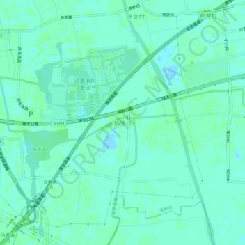
Name: 芦荡村 topographic map, elevation, terrain.
Location: 芦荡村, 苏州市, 江苏省, 中国 (31.52986 120.78623 31.56986 120.82623)
Average elevation: 3 m
Minimum elevation: -4 m
Maximum elevation: 5 m