
白水镇 topographic map
Interactive map
Click on the map to display elevation.
About this map
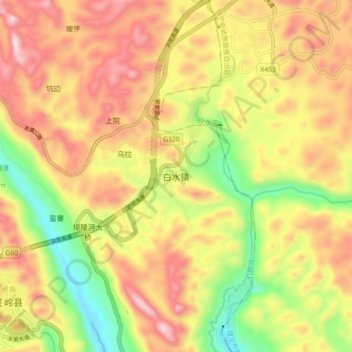
Name: 白水镇 topographic map, elevation, terrain.
Location: 白水镇, 安顺市, 贵州省, 中国 (25.93570 105.61900 26.01570 105.69900)
Average elevation: 1,043 m
Minimum elevation: 663 m
Maximum elevation: 1,393 m
Other topographic maps
Click on a map to view its topography, its elevation and its terrain.