
付家屯 topographic map
Interactive map
Click on the map to display elevation.
About this map
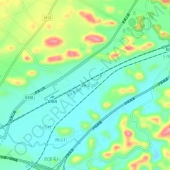
Name: 付家屯 topographic map, elevation, terrain.
Location: 付家屯, 西秀区, 安顺市, 贵州省, 中国 (26.18484 105.86090 26.22484 105.90090)
Average elevation: 1,371 m
Minimum elevation: 1,322 m
Maximum elevation: 1,480 m
Other topographic maps
Click on a map to view its topography, its elevation and its terrain.