
乐平镇 topographic map
Interactive map
Click on the map to display elevation.
About this map
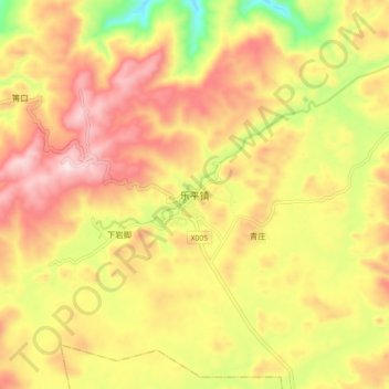
Name: 乐平镇 topographic map, elevation, terrain.
Location: 乐平镇, 安顺市, 贵州省, 中国 (26.38498 106.09247 26.46498 106.17247)
Average elevation: 1,383 m
Minimum elevation: 1,117 m
Maximum elevation: 1,594 m
Other topographic maps
Click on a map to view its topography, its elevation and its terrain.