
何园村 topographic map
Interactive map
Click on the map to display elevation.
About this map
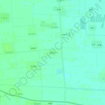
Name: 何园村 topographic map, elevation, terrain.
Location: 何园村, 连云港市, 江苏省, 中国 (34.71462 118.98630 34.75462 119.02630)
Average elevation: 6 m
Minimum elevation: 2 m
Maximum elevation: 11 m
Other topographic maps
Click on a map to view its topography, its elevation and its terrain.