
长阳镇 topographic map
Interactive map
Click on the map to display elevation.
About this map
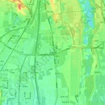
Name: 长阳镇 topographic map, elevation, terrain.
Location: 长阳镇, 房山区, 北京市, 102445, 中国 (39.72465 116.17096 39.80465 116.25096)
Average elevation: 49 m
Minimum elevation: 34 m
Maximum elevation: 77 m
Other topographic maps
Click on a map to view its topography, its elevation and its terrain.