
崇青水库 topographic map
Interactive map
Click on the map to display elevation.
About this map
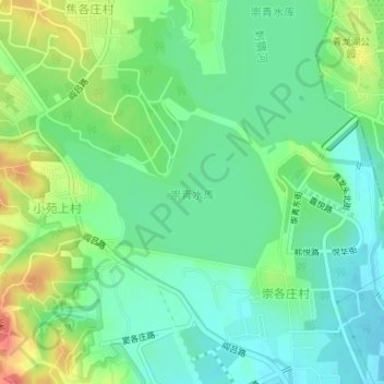
Name: 崇青水库 topographic map, elevation, terrain.
Location: 崇青水库, 房山区, 北京市, 中国 (39.77973 116.05594 39.79057 116.07602)
Average elevation: 75 m
Minimum elevation: 55 m
Maximum elevation: 111 m
Other topographic maps
Click on a map to view its topography, its elevation and its terrain.