
峨峪南山 topographic map
Interactive map
Click on the map to display elevation.
About this map
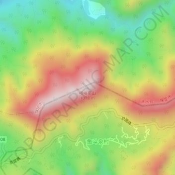
Name: 峨峪南山 topographic map, elevation, terrain.
Location: 峨峪南山, 房山区, 北京市, 中国 (39.78356 115.43611 39.78366 115.43621)
Average elevation: 705 m
Minimum elevation: 391 m
Maximum elevation: 1,050 m
Other topographic maps
Click on a map to view its topography, its elevation and its terrain.