
东坪镇 topographic map
Interactive map
Click on the map to display elevation.
About this map
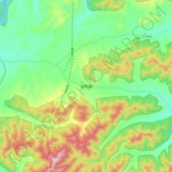
Name: 东坪镇 topographic map, elevation, terrain.
Location: 东坪镇, 淄博市, 山东省, 中国 (36.45926 117.95610 36.53926 118.03610)
Average elevation: 430 m
Minimum elevation: 246 m
Maximum elevation: 741 m
Other topographic maps
Click on a map to view its topography, its elevation and its terrain.