
朱台镇 topographic map
Interactive map
Click on the map to display elevation.
About this map
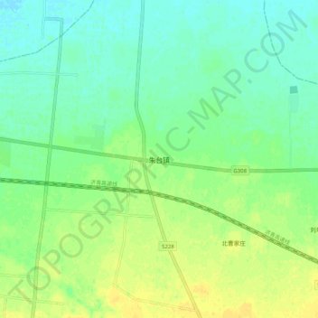
Name: 朱台镇 topographic map, elevation, terrain.
Location: 朱台镇, 淄博市, 山东省, 中国 (36.89980 118.21463 36.97980 118.29463)
Average elevation: 28 m
Minimum elevation: 18 m
Maximum elevation: 39 m
Other topographic maps
Click on a map to view its topography, its elevation and its terrain.