
洪山口 topographic map
Interactive map
Click on the map to display elevation.
About this map
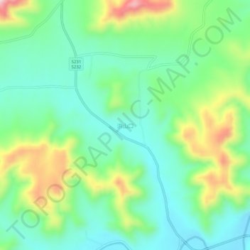
Name: 洪山口 topographic map, elevation, terrain.
Location: 洪山口, 淄博市, 山东省, 中国 (36.37840 117.92800 36.41840 117.96800)
Average elevation: 403 m
Minimum elevation: 294 m
Maximum elevation: 643 m