
烟墩角村 topographic map
Interactive map
Click on the map to display elevation.
About this map
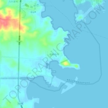
Name: 烟墩角村 topographic map, elevation, terrain.
Location: 烟墩角村, 威海市, 山东省, 264200, 中国 (37.27578 122.54121 37.31578 122.58121)
Average elevation: 8 m
Minimum elevation: -3 m
Maximum elevation: 73 m
Other topographic maps
Click on a map to view its topography, its elevation and its terrain.