Geolocate

界石镇 topographic map

Interactive map

Click on the map to display elevation.

About this map

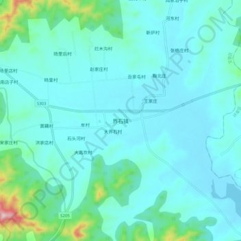
Name: 界石镇 topographic map, elevation, terrain.

Location: 界石镇, 威海市, 山东省, 264200, 中国 (37.23553 121.82894 37.31553 121.90894)

Average elevation: 80 m

Minimum elevation: 24 m

Maximum elevation: 451 m

Other topographic maps

Click on a map to view its topography, its elevation and its terrain.

威海市

中国 > 山东省 > 威海市

威海市, 环翠区, 威海市, 山东省, 264200, 中国

Average elevation: 25 m

烟墩角村

中国 > 山东省 > 威海市

烟墩角村, 威海市, 山东省, 264200, 中国

Average elevation: 8 m

紫金山

中国 > 山东省 > 威海市

紫金山, 威海市, 山东省, 264200, 中国

Average elevation: 131 m

徐家疃村

中国 > 山东省 > 威海市 > 徐家疃村

徐家疃村, 威海市, 山东省, 264200, 中国

Average elevation: 50 m

松顶

中国 > 山东省 > 威海市

松顶, 威海市, 环翠区, 威海市, 山东省, 264200, 中国

Average elevation: 97 m