
凤河 topographic map
Interactive map
Click on the map to display elevation.
About this map
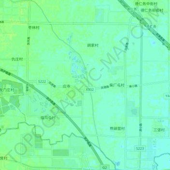
Name: 凤河 topographic map, elevation, terrain.
Location: 凤河, 广阳区, 通州区, 北京市, 中国 (39.60453 116.71332 39.66974 116.76619)
Average elevation: 15 m
Minimum elevation: 11 m
Maximum elevation: 19 m
Other topographic maps
Click on a map to view its topography, its elevation and its terrain.