
萧太后河 topographic map
Interactive map
Click on the map to display elevation.
About this map
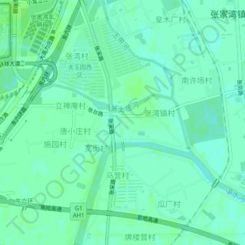
Name: 萧太后河 topographic map, elevation, terrain.
Location: 萧太后河, 文景街道, 通州区, 北京市, 中国 (39.84122 116.68330 39.84953 116.70961)
Average elevation: 23 m
Minimum elevation: 18 m
Maximum elevation: 26 m
Other topographic maps
Click on a map to view its topography, its elevation and its terrain.