
永乐店镇 topographic map
Interactive map
Click on the map to display elevation.
About this map
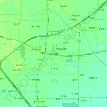
Name: 永乐店镇 topographic map, elevation, terrain.
Location: 永乐店镇, 通州区, 北京市, 中国 (39.66799 116.75056 39.74799 116.83056)
Average elevation: 17 m
Minimum elevation: 11 m
Maximum elevation: 20 m
Other topographic maps
Click on a map to view its topography, its elevation and its terrain.