
大沙河 topographic map
Interactive map
Click on the map to display elevation.
About this map
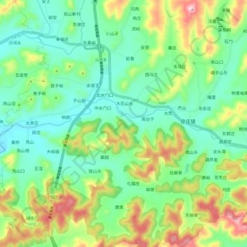
Name: 大沙河 topographic map, elevation, terrain.
Location: 大沙河, 山亭区, 枣庄市, 山东省, 中国 (35.04715 117.49800 35.06541 117.60707)
Average elevation: 270 m
Minimum elevation: 137 m
Maximum elevation: 555 m
Other topographic maps
Click on a map to view its topography, its elevation and its terrain.