
成山镇 topographic map
Interactive map
Click on the map to display elevation.
About this map
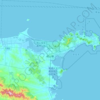
Name: 成山镇 topographic map, elevation, terrain.
Location: 成山镇, 荣成市, 威海市, 山东省, 264300, 中国 (37.26455 122.47275 37.49050 122.77496)
Average elevation: 24 m
Minimum elevation: -2 m
Maximum elevation: 543 m
Other topographic maps
Click on a map to view its topography, its elevation and its terrain.