
落凤岗村 topographic map
Interactive map
Click on the map to display elevation.
About this map
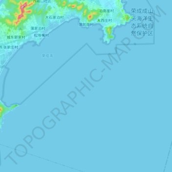
Name: 落凤岗村 topographic map, elevation, terrain.
Location: 落凤岗村, 成山镇, 荣成市, 威海市, 山东省, 264300, 中国 (37.28239 122.64227 37.40718 122.67371)
Average elevation: 5 m
Minimum elevation: -1 m
Maximum elevation: 239 m
Other topographic maps
Click on a map to view its topography, its elevation and its terrain.