
河口村 topographic map
Interactive map
Click on the map to display elevation.
About this map
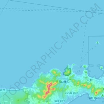
Name: 河口村 topographic map, elevation, terrain.
Location: 河口村, 成山镇, 荣成市, 威海市, 山东省, 264300, 中国 (37.38346 122.52591 37.49050 122.61985)
Average elevation: 8 m
Minimum elevation: -1 m
Maximum elevation: 239 m
Other topographic maps
Click on a map to view its topography, its elevation and its terrain.