
偃师区 topographic map
Interactive map
Click on the map to display elevation.
About this map
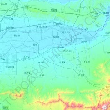
Name: 偃师区 topographic map, elevation, terrain.
Location: 偃师区, 洛阳市, 河南省, 471943, 中国 (34.46887 112.63441 34.80498 112.97405)
Average elevation: 271 m
Minimum elevation: 107 m
Maximum elevation: 1,465 m
Other topographic maps
Click on a map to view its topography, its elevation and its terrain.