
南阳镇 topographic map
Interactive map
Click on the map to display elevation.
About this map
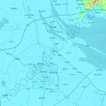
Name: 南阳镇 topographic map, elevation, terrain.
Location: 南阳镇, 微山县, 济宁市, 山东省, 中国 (34.96937 116.61078 35.12504 116.84652)
Average elevation: 37 m
Minimum elevation: 30 m
Maximum elevation: 317 m
Other topographic maps
Click on a map to view its topography, its elevation and its terrain.