
马坡镇 topographic map
Interactive map
Click on the map to display elevation.
About this map
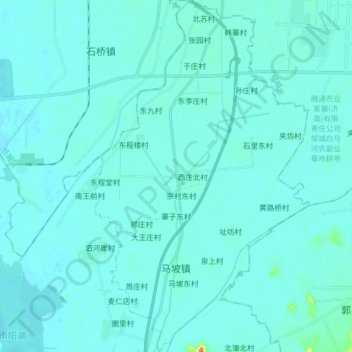
Name: 马坡镇 topographic map, elevation, terrain.
Location: 马坡镇, 微山县, 济宁市, 山东省, 中国 (35.20263 116.69722 35.33326 116.79621)
Average elevation: 38 m
Minimum elevation: 31 m
Maximum elevation: 128 m
Other topographic maps
Click on a map to view its topography, its elevation and its terrain.