
韩庄镇 topographic map
Interactive map
Click on the map to display elevation.
About this map
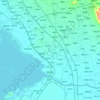
Name: 韩庄镇 topographic map, elevation, terrain.
Location: 韩庄镇, 微山县, 济宁市, 山东省, 中国 (34.55208 117.21382 34.72827 117.40581)
Average elevation: 45 m
Minimum elevation: 25 m
Maximum elevation: 340 m
Other topographic maps
Click on a map to view its topography, its elevation and its terrain.