
粥店街道 topographic map
Interactive map
Click on the map to display elevation.
About this map
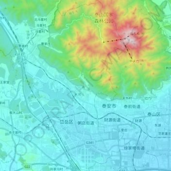
Name: 粥店街道 topographic map, elevation, terrain.
Location: 粥店街道, 岱岳区, 泰安市, 山东省, 271000, 中国 (36.14367 116.97401 36.29096 117.10321)
Average elevation: 364 m
Minimum elevation: 124 m
Maximum elevation: 1,529 m
Other topographic maps
Click on a map to view its topography, its elevation and its terrain.