
徂徕山 topographic map
Interactive map
Click on the map to display elevation.
About this map
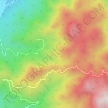
Name: 徂徕山 topographic map, elevation, terrain.
Location: 徂徕山, 泰安市, 岱岳区, 山东省, 271000, 中国 (36.06001 117.26005 36.06011 117.26015)
Average elevation: 527 m
Minimum elevation: 161 m
Maximum elevation: 876 m
Other topographic maps
Click on a map to view its topography, its elevation and its terrain.