
京川村 topographic map
Interactive map
Click on the map to display elevation.
About this map
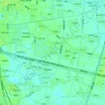
Name: 京川村 topographic map, elevation, terrain.
Location: 京川村, 青山湖区, 南昌市, 江西省, 中国 (28.58348 115.92830 28.62348 115.96830)
Average elevation: 23 m
Minimum elevation: 18 m
Maximum elevation: 28 m
Other topographic maps
Click on a map to view its topography, its elevation and its terrain.