
井坊张村 topographic map
Interactive map
Click on the map to display elevation.
About this map
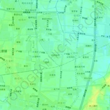
Name: 井坊张村 topographic map, elevation, terrain.
Location: 井坊张村, 南昌昌东工业区, 义坊村, 青山湖区, 南昌市, 江西省, 330026, 中国 (28.60200 115.93910 28.64200 115.97910)
Average elevation: 22 m
Minimum elevation: 15 m
Maximum elevation: 31 m