
北京东路社区 topographic map
Interactive map
Click on the map to display elevation.
About this map
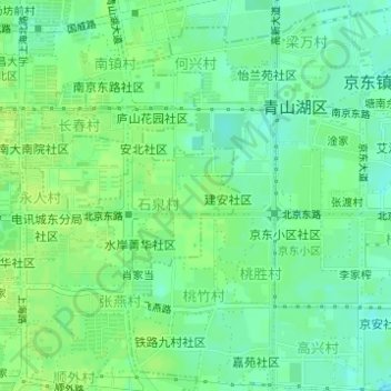
Name: 北京东路社区 topographic map, elevation, terrain.
Location: 北京东路社区, 湖坊镇, 青山湖区, 南昌市, 江西省, 中国 (28.67764 115.94774 28.68032 115.95150)
Average elevation: 23 m
Minimum elevation: 15 m
Maximum elevation: 28 m
Other topographic maps
Click on a map to view its topography, its elevation and its terrain.