
鯉魚門 topographic map
Interactive map
Click on the map to display elevation.
About this map
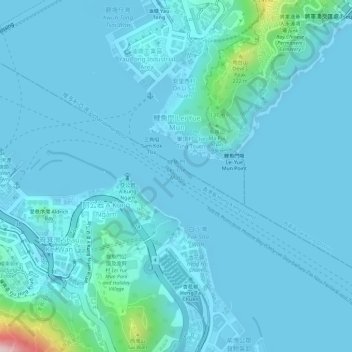
Name: 鯉魚門 topographic map, elevation, terrain.
Location: 鯉魚門, 筲箕灣, 東區, 香港島, 香港, 中国 (22.28099 114.23376 22.28807 114.24341)
Average elevation: 28 m
Minimum elevation: -2 m
Maximum elevation: 327 m
Other topographic maps
Click on a map to view its topography, its elevation and its terrain.